The Ultimate Guide to Air-to-Ground Weapons Ranges in DCS World with Easy Navigation Charts
Introduction:
Air-to-ground weapons ranges in DCS World provide the perfect environment to master strike missions, practice strafing runs, and enhance your combat effectiveness. In this guide, we’ll break down where these ranges are, how to get there using headings and distances from the largest airbase on each map, and how to use them effectively. To make it even easier, we’ve included a table summarizing range locations and navigation info for each map.
What Are Air-to-Ground Weapons Ranges?
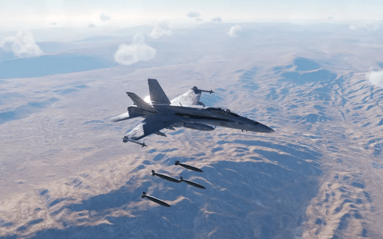
Air-to-ground ranges are designated training zones where pilots practice deploying bombs, rockets, and guns. These areas are typically equipped with:
- Static and moving targets: Tanks, convoys, bunkers, and buildings.
- Safe zones: Ensures ordnance is dropped away from populated areas or critical infrastructure.
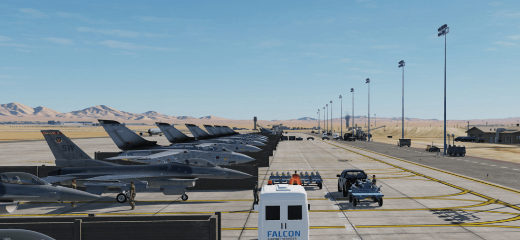
Why Use Them in DCS?
- Practice: Improve your proficiency with various weapon systems.
- Tactical Training: Learn how to coordinate attack patterns for different scenarios.
- Mission Prep: Perfect your accuracy for campaign or multiplayer missions.
DCS Nevada Map: NTTR Ranges
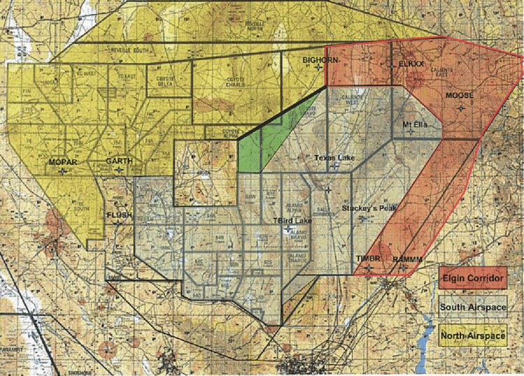
The Nevada Test and Training Range (NTTR) map is home to several iconic air-to-ground ranges based on real-world facilities. Below is a list of the ranges, their locations, and how to navigate to them from Nellis Air Force Base (KLSV):
Simply use your Ruler Tool and use the degrees and distance from Nellis to find the actual location of the Air to Ground weapons ranges.
| Range Name | Distance | Heading | Key Features |
|---|---|---|---|
| Bravo 17 | ~45 nm | 260° | Tanks, convoys, and static buildings. |
| Bravo 19 | ~37 nm | 325° | Bunkers, radar sites, and SAM simulations. |
| Bravo 20 | ~50 nm | 275° | Simulated SAM sites and aircraft mockups. |
| Tonopah Test Range | ~140 nm | 330° | Customizable dynamic target layouts. |
How to Get to These Ranges:
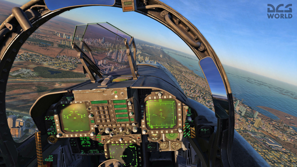
- Bravo 17: Take off from Nellis, turn to a heading of 260°, and fly for approximately 45 nautical miles (nm). Look for a cleared area with visible targets.
- Bravo 19: Set your heading to 325° and fly about 37 nm. Targets will appear in a cleared field within the desert.
- Bravo 20: Fly heading 275° for 50 nm. This range is larger and includes multiple targets across an open area.
- Tonopah Test Range (TTR): Fly heading 330° for 140 nm to reach this extensive test area. Best for mission customization.
- Latest CPU’s Available Now – Amazon.com
- Get a NEW GPU Best Performance – AMAZON.com
- Upgrade RAM Here today – AMAZON.com
- Prebuilt PC Options – AMAZON.com
DCS Persian Gulf Map: Air-to-Ground Weapons Ranges in DCS World
The Persian Gulf map offers ranges for precision and tactical strike practice. Most ranges are close to Al Dhafra Air Base (OMAM):
| Range Name | Distance | Heading | Key Features |
|---|---|---|---|
| Al Dhafra Range | ~20 nm | 250° | Urban and convoy targets. |
| Qeshm Island Range | ~90 nm | 120° | Simulated coastal installations. |
How to Navigate:
- Al Dhafra Range: From Al Dhafra AB, turn to 250° and fly about 20 nm. Targets are marked near desert urban setups.
- Qeshm Island Range: Fly 120° for 90 nm. The range is near the coastal edges of Qeshm Island.
DCS Syria Map: Air-to-Ground Weapons Ranges in DCS World
The Syria map includes a variety of ranges with a focus on both urban and desert scenarios. The primary base for navigation is Incirlik Air Base (LTAG):
| Range Name | Distance | Heading | Key Features |
|---|---|---|---|
| Incirlik Range | ~15 nm | 190° | Static urban targets and convoys. |
| Palmyra Desert Range | ~100 nm | 125° | Long-range strike scenarios. |
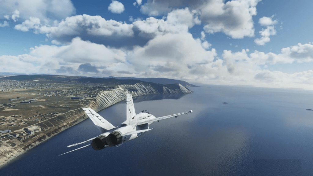
How to Navigate:
- Incirlik Range: From Incirlik, fly heading 190° for 15 nm to locate urban target layouts.
- Palmyra Desert Range: Fly heading 125° for 100 nm into the open desert, where targets are spread across a wide area.
DCS Caucasus Map: Air-to-Ground Weapons Ranges in DCS World
The Caucasus map features rugged terrain for varied attack angles. Navigate from Vaziani Air Base (UG27):
| Range Name | Distance | Heading | Key Features |
|---|---|---|---|
| Gudauta Range | ~40 nm | 295° | Static targets in mountain valleys. |
| Vaziani Range | ~15 nm | 090° | Close-range armor and bunkers. |
How to Navigate:
- Gudauta Range: Fly heading 295° for 40 nm. Look for targets nestled in valleys.
- Vaziani Range: Fly east (090°) for 15 nm to a compact target area.
How to Use a Weapons Range
1. Pre-Mission Setup:
- Equip air-to-ground weapons suitable for the mission (e.g., bombs, rockets, or guns).
- Study the range’s layout and designated entry/exit patterns.
2. Navigating to the Range:
- Use headings and distances provided.
- Set a waypoint in your aircraft’s navigation system if possible.
3. Flying the Pattern:
- Entry: Enter the range at a safe altitude (e.g., 10,000 ft AGL).
- Holding: Circle the range in a racetrack pattern until cleared to attack.
4. Weapon Deployment:
- Dive Bombing: Approach at a 30°–60° dive angle, release at 3,000 ft AGL.
- Gun Runs: Shallow approach (~10°–20°) for strafing.
- Level Bombing: Use CCRP or visual release for accuracy.
5. Exiting:
- Egress along a predefined heading to avoid overflying targets.
Full Table of Air-to-Ground Weapons Ranges by Map
| Map | Base | Range | Distance | Heading |
|---|---|---|---|---|
| Nevada | Nellis AFB | Bravo 17 | 45 nm | 260° |
| Bravo 19 | 37 nm | 325° | ||
| Bravo 20 | 50 nm | 275° | ||
| Tonopah Test Range | 140 nm | 330° | ||
| Persian Gulf | Al Dhafra AB | Al Dhafra Range | 20 nm | 250° |
| Qeshm Island Range | 90 nm | 120° | ||
| Syria | Incirlik AB | Incirlik Range | 15 nm | 190° |
| Palmyra Desert Range | 100 nm | 125° | ||
| Caucasus | Vaziani AB | Gudauta Range | 40 nm | 295° |
| Vaziani Range | 15 nm | 090° |
- Joystick / HOTAS – AMAZON.com
- Rudder Pedals – AMAZON.com
- Throttle Quadrant – AMAZON.com
- Gaming Chair – AMAZON.com
- VR Headset – AMAZON.com
Click Here – Download ALL THE WEAPONS RANGES NOW!
Conclusion
With this guide, navigating to air-to-ground ranges in DCS World is easier than ever. Use the provided headings and distances for seamless practice sessions and maximize your performance in deploying weapons accurately.
Start training today to become a master of air-to-ground combat!
Let me know if you’d like me to create graphics or in-depth range diagrams to complement this guide.
Author
Brendon McAliece (Aka Gunnie) is a military veteran with 23 years working on Jet Fighters, their weapons systems and ejection seat/module systems as well as munitions and R&D. Involved with flight simulation since the 1980s, he has flown all the major flight simulators over the years.
He is an Australian expat who has lived in Malaysia, UK, Saudi Arabia and more recently Thailand. He is a multi-lingual blogger who loves to share his life experiences here on LetsFlyVFR.com and DreamingGuitar.com, with his lifestyle and Travel experiences Blog plus his Dreaming Coffee website.
Learn More @
DreamingGuitar.com – DreamingCoffee.com – LetsFlyVFR.com
( HOME – BLOG – SHOP – ABOUT )
As an Amazon affiliate I may benefit from qualifying sales.
